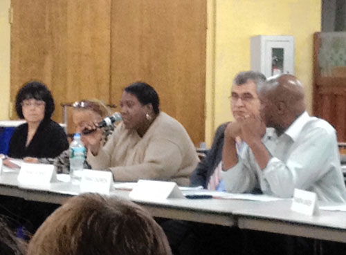
Representatives from Federal Emergency Management Agency FEMA and the NYC Department of Buildings will hold a town hall meeting on Thursday May, 2 to help Bronxites get a better understanding of the new advisory flood maps for the Bronx.
Congressman Joseph Crowley and Councilman Jimmy Vacca requested representatives from both agencies be present at the City Island Community Center at 190 Fordham St. at 7 p.m. to answer questions about new flood maps, insurance, building codes and flood prevention.
The new advisory flood zone maps, released in February, have added new stretches of local communities that were battered by SuperStorm Sandy.
Homeowners who now find themselves added to a flood zone could face a storm of insurance premium increases if the final revised maps are adopted after a public review.
Shoreline properties in Country Club, Spencer Estates, Edgewater Park, Silver Beach, Clason Point and Harding Park all saw flood zones added or expanded.
Homeowners can look up their addresses at region2coastal.com to see if they are included in the new zones, which could require taking out flood insurance and elevating their homes.
As part of the town hall meeting, FEMA will explain how to read the new advisory maps and what the changes will mean for the community, officials said.
“From residents to business owners, many Bronxites will be affected by these new flood maps and changes to the National Flood Insurance Program,” said Crowley. “That’s why I asked FEMA and the Department of Buildings to join us for this public meeting so that my constituents better understand the process and get the answers they need.
“Opening the lines of communication is helpful in any process and I’m glad we can come together for this important discussion.”
Councilman Vacca agreed.
“It’s no secret that Hurricane Sandy caused immense damage throughout the city, including homes and businesses in the waterfront communities that make up parts of our district,” Vacca said. “This storm serves as a reminder that our city is no longer invulnerable to storms of that magnitude. As a result, federal flood maps, insurances, building codes, and flood prevention plans have all changed and our residents need to be properly informed of how these variations will affect their homes and businesses. We urge constituents to join us for this town hall meeting.”
According to FEMA representatives, the new maps are not the regulatory maps — those will not be released for another one to two years.
Kirsten Sanchez can be reach via e-mail at ksanchez@cnglocal.com or by phone at (718) 742-3394