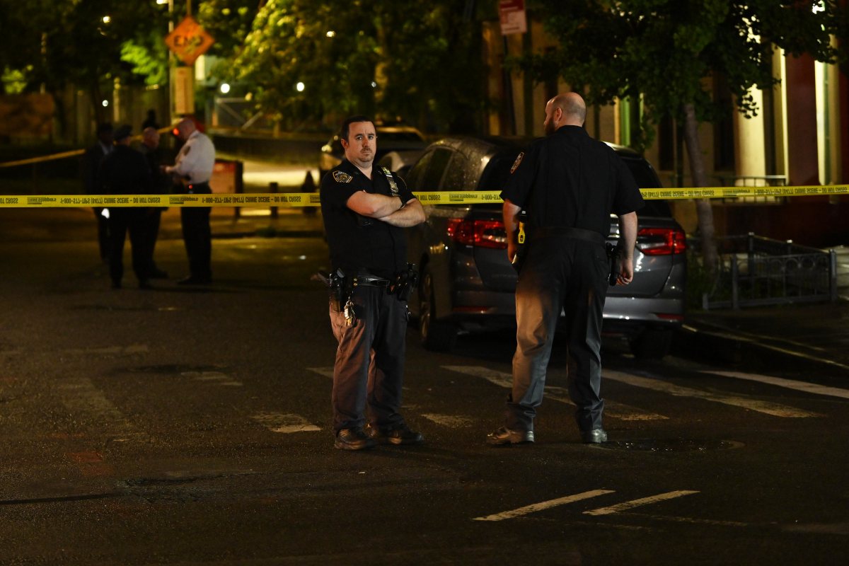
Proponents of the Harlem River Greenway Project — which aims to connect Van Cortlandt Park in the Northwest Bronx to Randall’s Island through a continuous seven-mile greenway path — are concerned that the former Putnam Line west of the Major Deegan, which the MTA uses as a maintenance yard, could throw a wrench into the project.
Construction of the greenway will be broken into three parts: Van Cortlandt Park to the University Heights Bridge, the University Heights Bridge to the Macombs Dam Bridge and the Macombs Dam Bridge to the Randall’s Island Connector. The city is allocating $1 million for the project’s planning. Construction costs, according to city officials, will depend on the contours of the plan that’s crafted in the coming months.
The former Putnam train line, nicknamed the Old Put, limits the greenway plans, project advocates say, from a stretch of the old line from Van Cortlandt to 230th Street, forcing the greenway onto local streets.
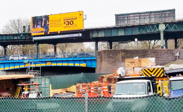
The Old Put was once a commuter rail route, last carrying passengers in 1958, but MTA officials told the Bronx Times that the remaining stub near the Marble Hill station now houses maintenance trains from the Grand Central Madison terminal after it fully opened service to the Long Island Rail Road in February.
“So the Long Island Railroad customers, who are suburbanites, get this fantastic benefit of a direct line to Grand Central, while the Bronx gets the garbage from the project,” said Robert Fanuzzi, president of the Bronx Council for Environmental Quality. “So we want to know how will MTA be a good neighbor because they own crucial links of a future Greenway.”
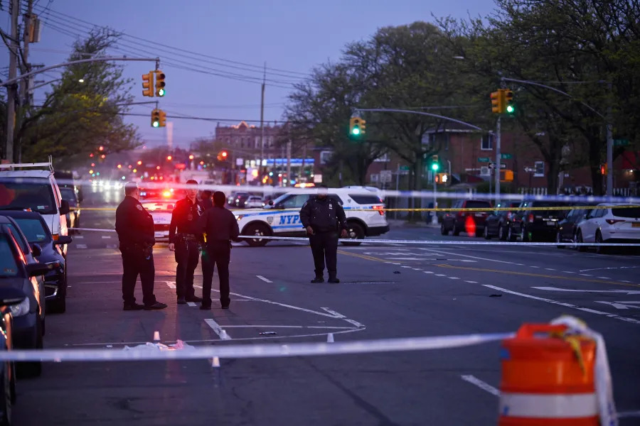
There will be three workshops on April 18, 19 and 26, in which the city Department of Transportation (DOT) will solicit feedback from the public on the various segments of the greenway project. MTA officials told the Bronx Times that they wanted to wait until after the workshops, and for concrete plans for the segment, before commenting on potential barriers caused by the Old Put yard.
DOT, who is responsible for the planning process for the Harlem River Greenway Project, told the Bronx Times that they will discuss establishing potential routes and documenting the physical and financial barriers to a waterfront path at next week’s workshops.
“DOT is excited to kick off public meetings to discuss how the City can reconnect Bronxites to their waterfront. DOT has closely reviewed existing land uses along the river and, as stated, we look forward to planning a continuous waking and cycling route that connects Van Cortlandt Park to Randall’s Island Park along the waterfront wherever possible,” said DOT spokesperson Vincent Barone.

Chauncy Young, a member of the Harlem River Working Group, estimates that at least 30 acres of the Harlem River waterfront would be inaccessible to its residents, without significant change in the Metro-North’s use of the Old Put stretch, as well as the agency’s Highbridge Car Washing Facility.
Ideally, project leaders would like the greenway to cross over Metro-North’s tracks and resume on land between the rails and the Harlem River, connecting to an existing greenway coming north from Roberto Clemente State Park and running to the High Bridge, which connects the Highbridge neighborhood in the Bronx with Manhattan’s Washington Heights.
In March, Young and other greenway advocates called a meeting with Metro-North officials, in which they were informed that the transit agency would be continuing to use the old rail yard to house the Grand Central trains.
“Are you telling me that Bronx residents can’t have access to the waterfront because we’re going to be managing trash from Long Island, from upstate New York and Connecticut?” Young told the Bronx Times.
The Bronx Harlem River Greenway will restore access to the Harlem River waterfront that was lost from the 1930s construction of the Major Deegan Expressway, according to the mayor’s office and DOT.
While more than 90% of Manhattan residents within a half-mile of the waterfront have formal access to a waterfront park or open space, Fewer than half of Bronx residents within a half-mile can access their waterfronts, according to a 2022 report by the city Department of City Planning.
The report found nearly three million New Yorkers live within a half-mile of the waterfront and that approximately two million of them live within walking distance of a waterfront park or open space.