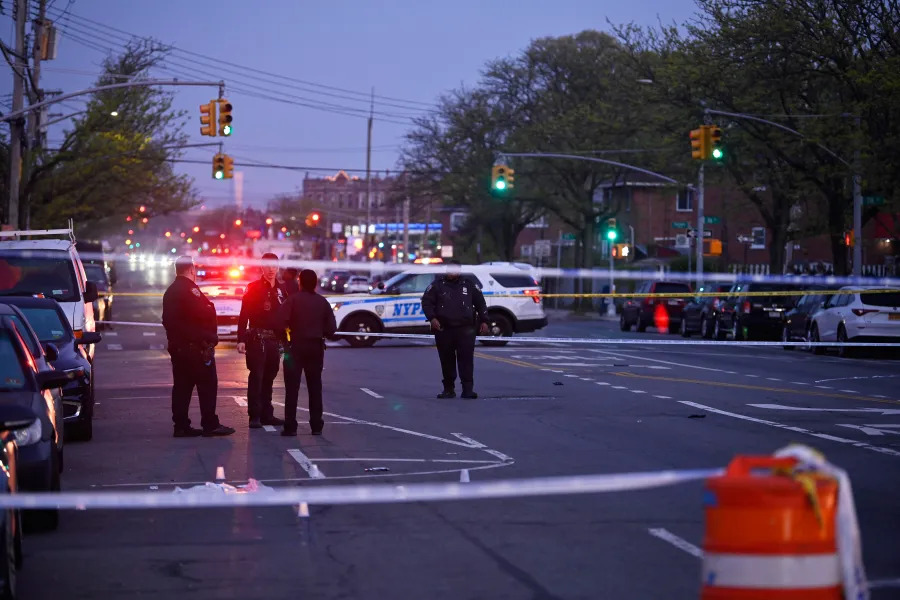
As sea level rises around NYC, tidal flooding in coastal neighborhoods like City Island and Pelham Bay Park is becoming an increasing concern.
In mid-September, Katie Graziano, a project scientist of the Community Flood Watch Project, which is part of the Science and Resilience Instie at Jamaica Bay-New York Sea Grant, spoke at the City Island Rising Inc., meeting, a nonprofit working to improve the City Island community, about the work her organization is doing and hopes to do for City Island, which sits along the Long Island Sound.
The project, which has partnered with Rising, uses citizen science to report flooding events in the Jamaica Bay watershed. With photographs and reports collected by community members, researchers can visualize how high tides might look in the future due to sea level rise, as well as improve the science and computer models of flooding. As flooding often occurs on Shore Road, Park Drive, Orchard Beach Road and City Island Road, Graziano said it is important for residents to be active and participate in the project. She added that high tide flooding can happen on a sunny day and impact infrastructure, public health, safety and more.
“The purpose of the meeting was to share with all of the residents what we do at Flood Watch,” Graziano told the Bronx Times. “I think it’s important to know that rising sea levels and coastal flooding are going to become more frequent and that communities will now help us become more prepared for the future.”
According to the New York Sea Grant, the national annual frequency of high-tide flooding reached five days in 2018, tying a historic record set in 2015. By 2030, however, long-term projections show a national frequency of 7-14 days of high-tide flooding.
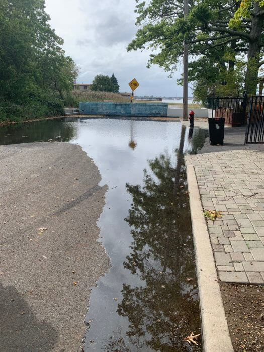
Graziano told the Bronx Times that the hope is that citizen documentation of flooding will help scientists determine which areas are more prone to it. She said due to recent data, Flood Watch now knows flooding on Ditmars Street on City Island is caused by high tide. In October the street flooded due to a higher-than-usual high tide, with water levels reaching 3 feet above average rises.
Based on sea level rise projections from the NYC Panel on Climate Change, such a level of flooding will be a normal daily occurrence beginning in the 2050s-2080s.
John Doyle, president of City Island Rising Inc., said this isn’t just a City Island problem, but also affects Throggs Neck, Silver Beach, Pelham Bay Park, Edgewater Park and areas in Queens. Doyle wonders when money will be directed to help coastal communities in the Bronx.
“The point is people are seeing these storms and wondering what’s being done?” he said.
For information on the project go to https://www.srijb.org/jbfloodwatch/ or email Katie Graziano <kag247@cornell.edu.
Reach Jason Cohen at jcohen@schnepsmedia.com or (718) 260-4598. For more coverage, follow us on Twitter, Facebook and Instagram @bronxtimes.